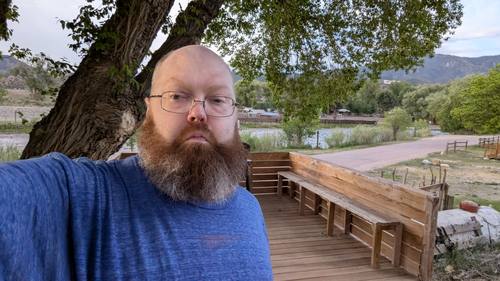
A long weekend basecamped at Cutty's Hayden Creek Resort, tucked into the Sangre de Cristo foothills outside Coaldale, Colorado. Days spent chasing the Arkansas River, the old Cotopaxi general store, the dark-sky towns of the Wet Mountain Valley, and a whole lot of nothing in the best way. Photos and video straight off the trip — and still growing.
The route
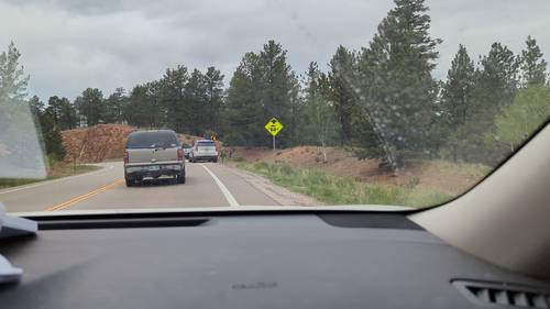
Climbing into the mountains
Elevation across the whole trip — from the high plains up over 9,000 feet.
The stops
 83
83The Drive In
The road up through the Wet Mountains
 47
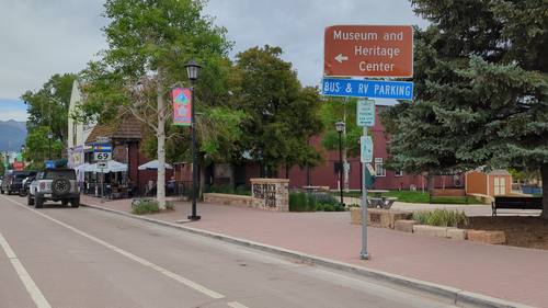
47Westcliffe & Silver Cliff
Dark skies and silver ghosts
 1010
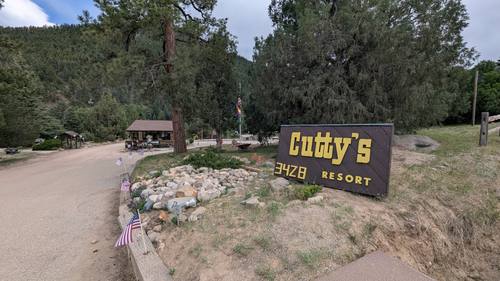
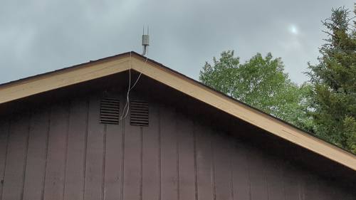
1010Cutty's Hayden Creek Resort
Home base on the creek
 154
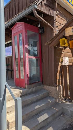
154The Cotopaxi General Store
A volcano's namesake on US-50
 154
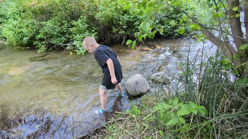
154The River & the Pond
Arkansas River and Bighorn Sheep Canyon
The Smoke Story
(tell me which photos)
Day by day
The country
Arkansas River (Bighorn Sheep Canyon)
The Arkansas River carved Bighorn Sheep Canyon between the alpine waters above and the sheer walls of the Royal Gorge downstream, and for more than a century it has been one of Colorado's defining waterways. In the 1800s the canyon was a natural highway: the Denver & Rio Grande fought tooth and nail to lay its rails along the river toward the Leadville silver bonanza, and the old grade still ledges the canyon wall above today's rafts. That fight, the Royal Gorge War of 1878-79, pitted Palmer's D&RG against the Santa Fe, even drawing hired gunman Bat Masterson and his crew, before the courts and the 1880 "Treaty of Boston" handed the gorge to the D&RG. Today the river is a recreation powerhouse: in 2014 Colorado Parks & Wildlife designated 102 miles of the Arkansas as Gold Medal trout water, the longest such stretch in the state. And the canyon lives up to its name, sheltering one of Colorado's largest bighorn sheep herds, with several hundred animals working the cliffs above the rapids.
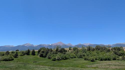
Sangre de Cristo Range
The Sangre de Cristo Range walls off the western edge of the Wet Mountain Valley with one of the most dramatic mountain fronts in North America, rising abruptly from the valley floor to a crest of fourteeners. The name is Spanish for "Blood of Christ," most often explained by the deep blood-red alpenglow that floods the peaks at sunrise and sunset, though a competing legend ties it to the dying words of a Spanish priest; it has been in use since the early 19th century. Geologically these are fault-block mountains, kin to Wyoming's Tetons, shoved skyward as a single mass beginning around five million years ago along faults that are still active today. The range's crown jewels are the Crestone group — Crestone Peak, Crestone Needle, Kit Carson Mountain, and Humboldt Peak — plus 14,345-foot Blanca Peak to the south, the range's high point. The Crestones, built of rough, grippy conglomerate rock, are famous as some of the hardest and most committing fourteeners in Colorado.