The Arkansas River is the spine of this whole valley — 102 miles of Gold Medal trout water, world-class whitewater, and a canyon that holds one of the largest bighorn sheep herds in Colorado. We found a quiet pond and a boardwalk, watched the water, and let US-50 do the rest. Cliffs on one side, river on the other, the whole way.
Watch (5)
The history
Arkansas River (Bighorn Sheep Canyon)
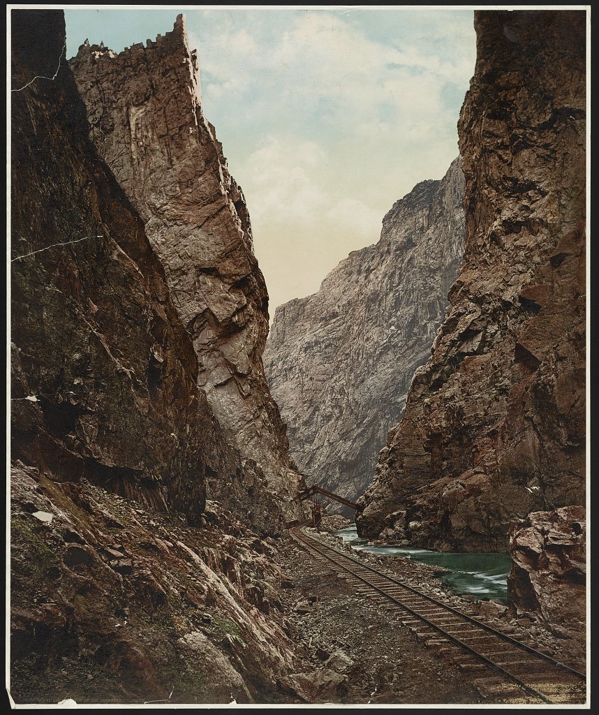
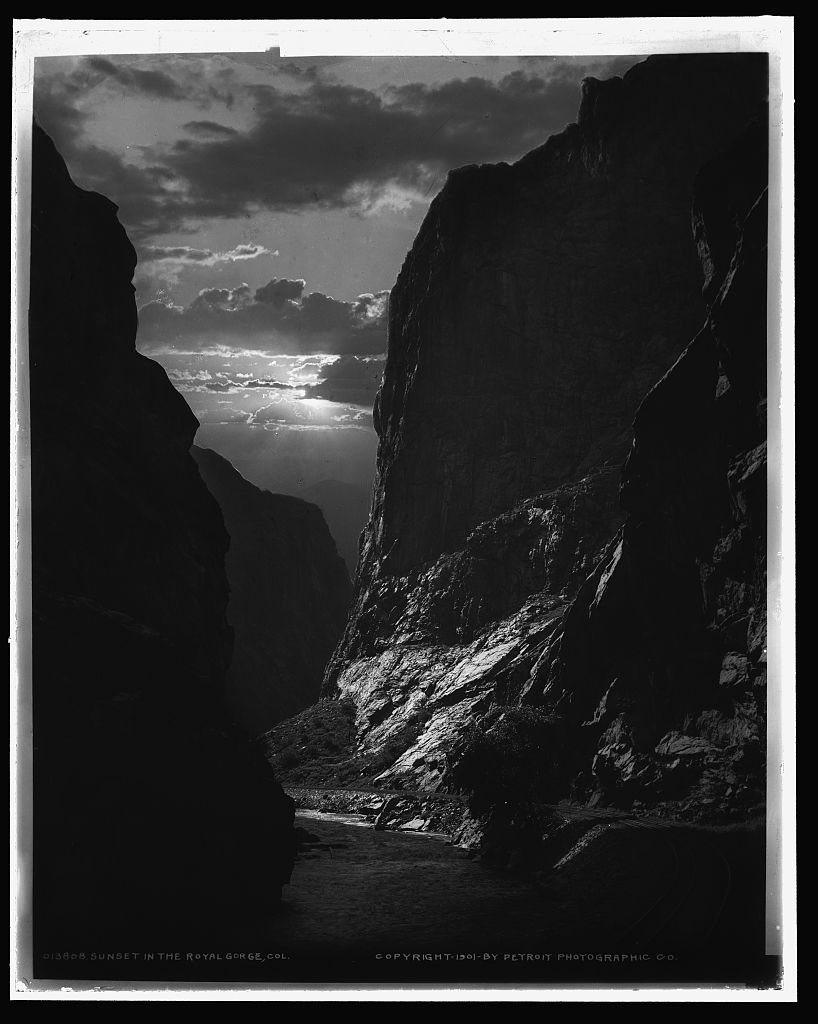
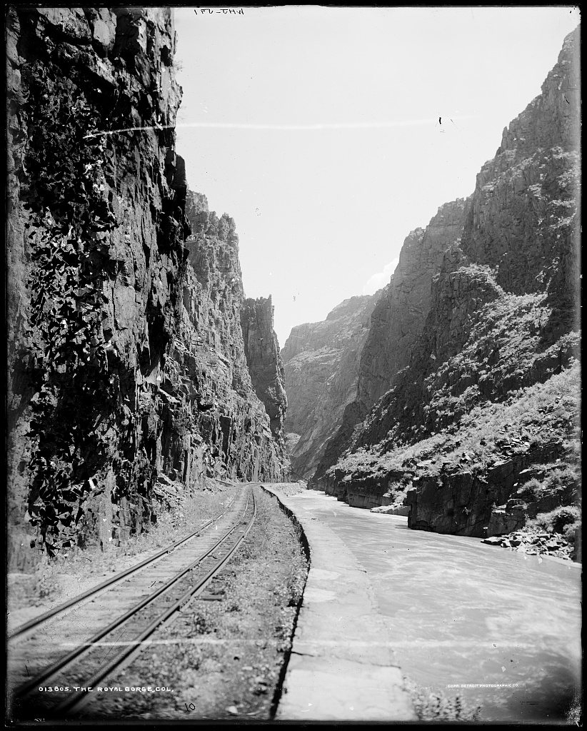
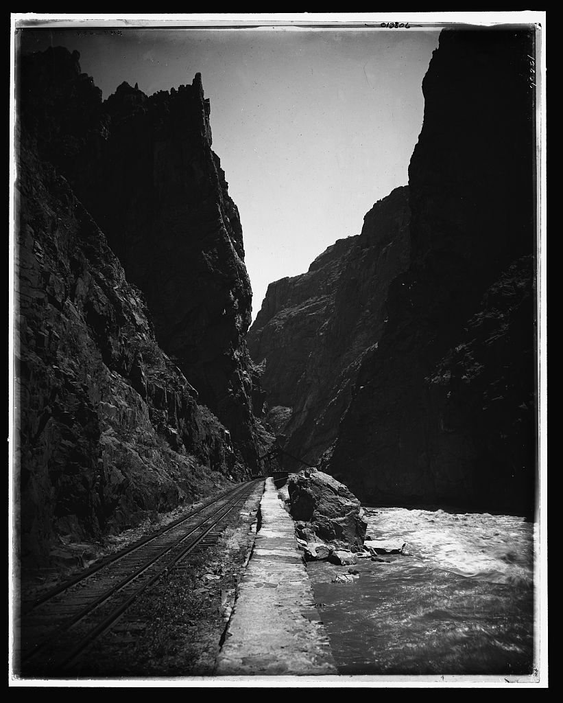
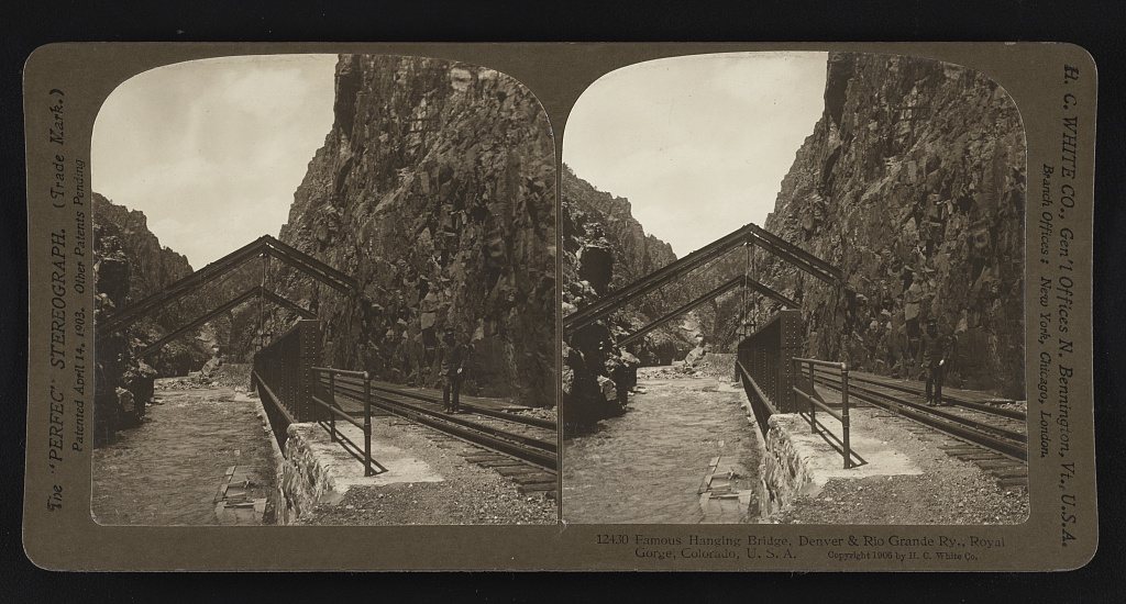
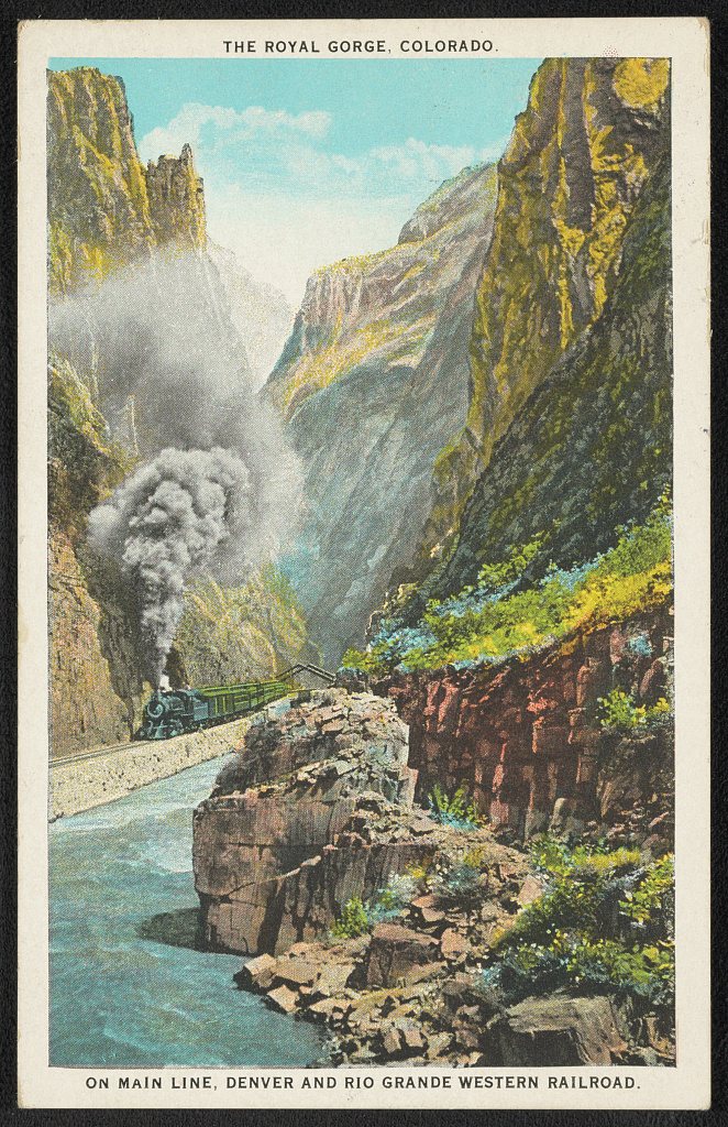
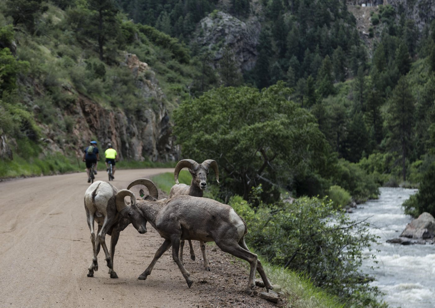
The Arkansas River carved Bighorn Sheep Canyon between the alpine waters above and the sheer walls of the Royal Gorge downstream, and for more than a century it has been one of Colorado's defining waterways. In the 1800s the canyon was a natural highway: the Denver & Rio Grande fought tooth and nail to lay its rails along the river toward the Leadville silver bonanza, and the old grade still ledges the canyon wall above today's rafts. That fight, the Royal Gorge War of 1878-79, pitted Palmer's D&RG against the Santa Fe, even drawing hired gunman Bat Masterson and his crew, before the courts and the 1880 "Treaty of Boston" handed the gorge to the D&RG. Today the river is a recreation powerhouse: in 2014 Colorado Parks & Wildlife designated 102 miles of the Arkansas as Gold Medal trout water, the longest such stretch in the state. And the canyon lives up to its name, sheltering one of Colorado's largest bighorn sheep herds, with several hundred animals working the cliffs above the rapids.
Fast facts
Arkansas River (Bighorn Sheep Canyon)
- Bighorn Sheep Canyon lies between the Browns Canyon headwaters and the Royal Gorge.
- In 2014 Colorado designated 102 miles of the Arkansas as Gold Medal trout water, the state's longest such stretch.
- Gold Medal status requires at least 60 pounds of trout per acre and a dozen-plus 14-inch fish per acre.
- The canyon shelters one of Colorado's largest bighorn sheep herds, with several hundred animals.
- The Denver & Rio Grande's historic rail grade still ledges the canyon wall above the river.
- The Royal Gorge War (1878-79) was a railroad fight over who could run rails to the Leadville silver mines.
- The Santa Fe hired gunfighter Bat Masterson, with Doc Holliday among his recruits, during the conflict.
- The 1880 "Treaty of Boston" ended the war, with the D&RG paying the Santa Fe $1.8 million for its gorge work.
- The Royal Gorge below the canyon is spanned by one of the world's highest suspension bridges, over 1,000 feet up.
- The Arkansas is among the most-rafted rivers in the United States.
US-50 Arkansas River Scenic Highway
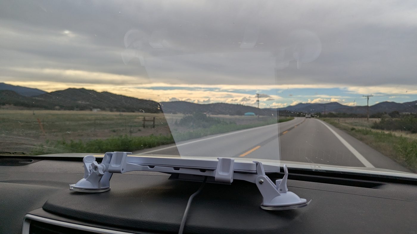
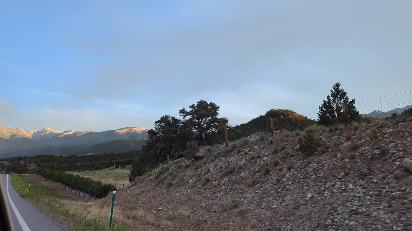
- US-50 hugs the Arkansas River as it snakes through Bighorn Sheep Canyon between Salida and Canon City.
- The canyon walls are sheer cliffs carved by millions of years of erosion, easily visible right from the road.
- Drivers regularly spot bighorn sheep, part of one of Colorado's largest herds, grazing on the cliffs near the highway.
- To the west the Sangre de Cristo Mountains rise like a 14,000-foot sawtooth wall on the horizon.
- Historic canyon towns like Wellsville, Cotopaxi, and Howard line the route along the river.