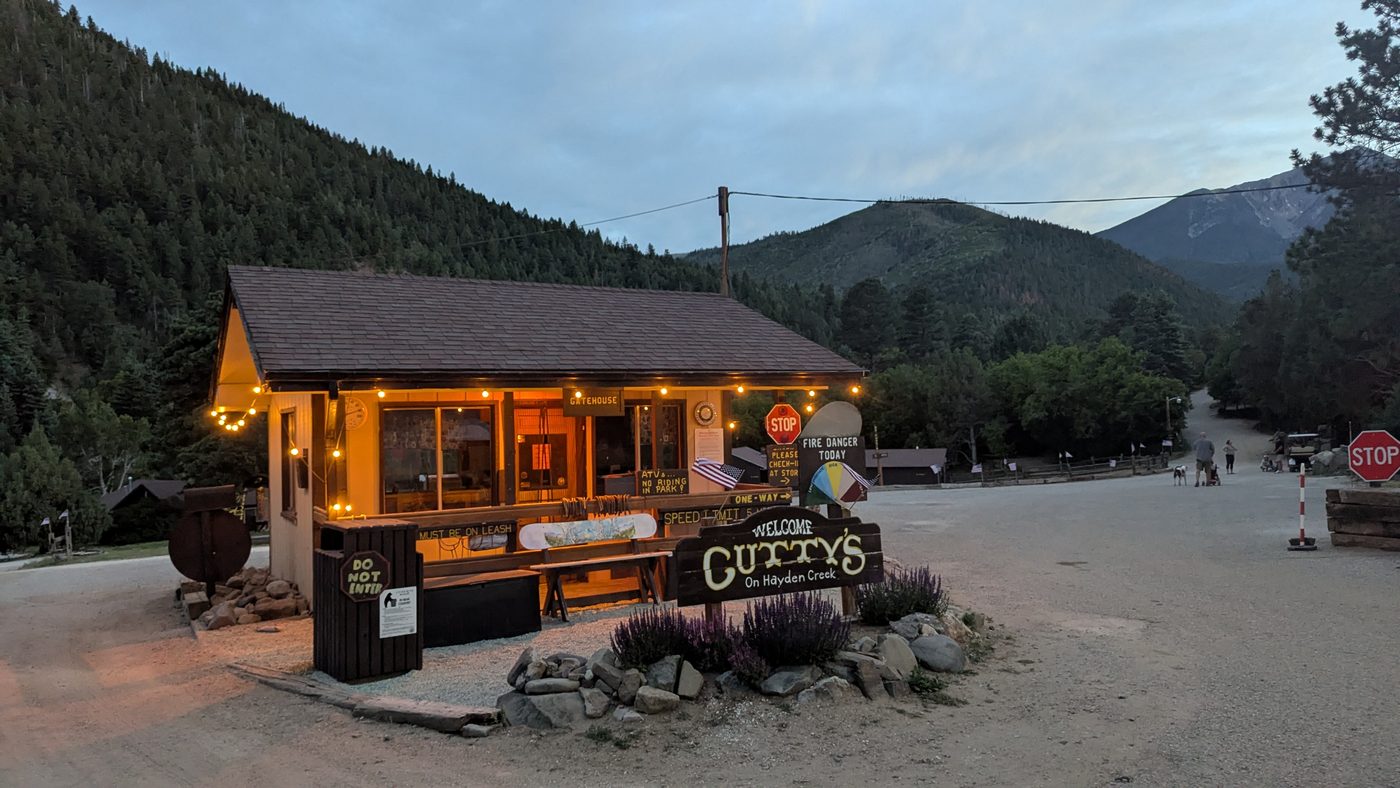
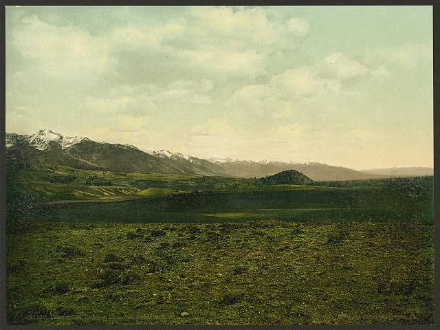
Basecamp. Cutty's has been a family vacation tradition for over fifty years, sitting on 157 acres of National Forest land right on Hayden Creek at the foot of the Sangre de Cristos. Cabins, a creek, pines, the works. This is where most of the trip happened — the slow mornings, the campfire evenings, the kind of place you keep coming back to all day long.
Watch (37)
The history
Cutty's Hayden Creek Resort, Coaldale
Cutty's Hayden Creek Resort sits on 157 acres tucked into the San Isabel National Forest along Hayden Creek, just south of Coaldale, and has been run as a family resort for more than 50 years. The setting is its history: a creekside spread in the foothills of the Sangre de Cristos, roughly two hours southwest of Colorado Springs, that grew from a campground into a full vacation resort with cabins, RV and tent sites, pools, and an old-fashioned roster of summer activities. Generations of families have made it an annual tradition, drawn by the rec hall, the creek walks, and the access to the Rainbow Trail and the national forest at the property's edge. Detailed records of the founding family aren't published online, so the resort's deeper origin story is best confirmed with the owners directly.
Hayden Creek & the Rainbow Trail
Hayden Creek tumbles out of the eastern Sangre de Cristos above Coaldale, threading through the San Isabel National Forest past a Forest Service campground before joining the Arkansas River. It's best known as a gateway: two trailheads off the Hayden Creek road feed onto the Rainbow Trail (#1336), the long contour path that hugs the lower eastern flank of the range. From the Hayden Creek trailhead the Rainbow Trail climbs steeply for the first couple of miles, then rolls roughly 12 miles west toward the Bear Creek trailhead near Salida, passing in and out of pine and aspen forest along the edge of the Sangre de Cristo Wilderness. The creek and its side drainages offer small-stream trout fishing, and the trail itself is a single-track favorite for hikers, mountain bikers, and motorcyclists, while protecting the deeper wilderness beyond from motorized use.
Coaldale, CO
Coaldale is a small unincorporated community in southwestern Fremont County, strung along the Arkansas River where the valley opens into the stretch sometimes called Pleasant Valley. Despite the name, the town's early economy ran on charcoal, not coal: pinon pine from the surrounding hills was burned in beehive-shaped brick kilns to make charcoal that fed the silver smelters of Leadville and Pueblo. The settlement was originally called Hendricks, after its postmaster, and was renamed Coaldale in 1891. When the Denver & Rio Grande put in a rail siding, the railroad labeled it Pleasanton, layering yet another name onto the same patch of ground. Ironically, the town named for coal would later become better known for a large deposit of gypsum.
Fast facts
Cutty's Hayden Creek Resort, Coaldale
- Cutty's has operated as a family resort for over 50 years.
- The property spans 157 acres inside the San Isabel National Forest.
- It sits directly on Hayden Creek south of Coaldale, Colorado.
- It's roughly two hours southwest of Colorado Springs in the Sangre de Cristo foothills.
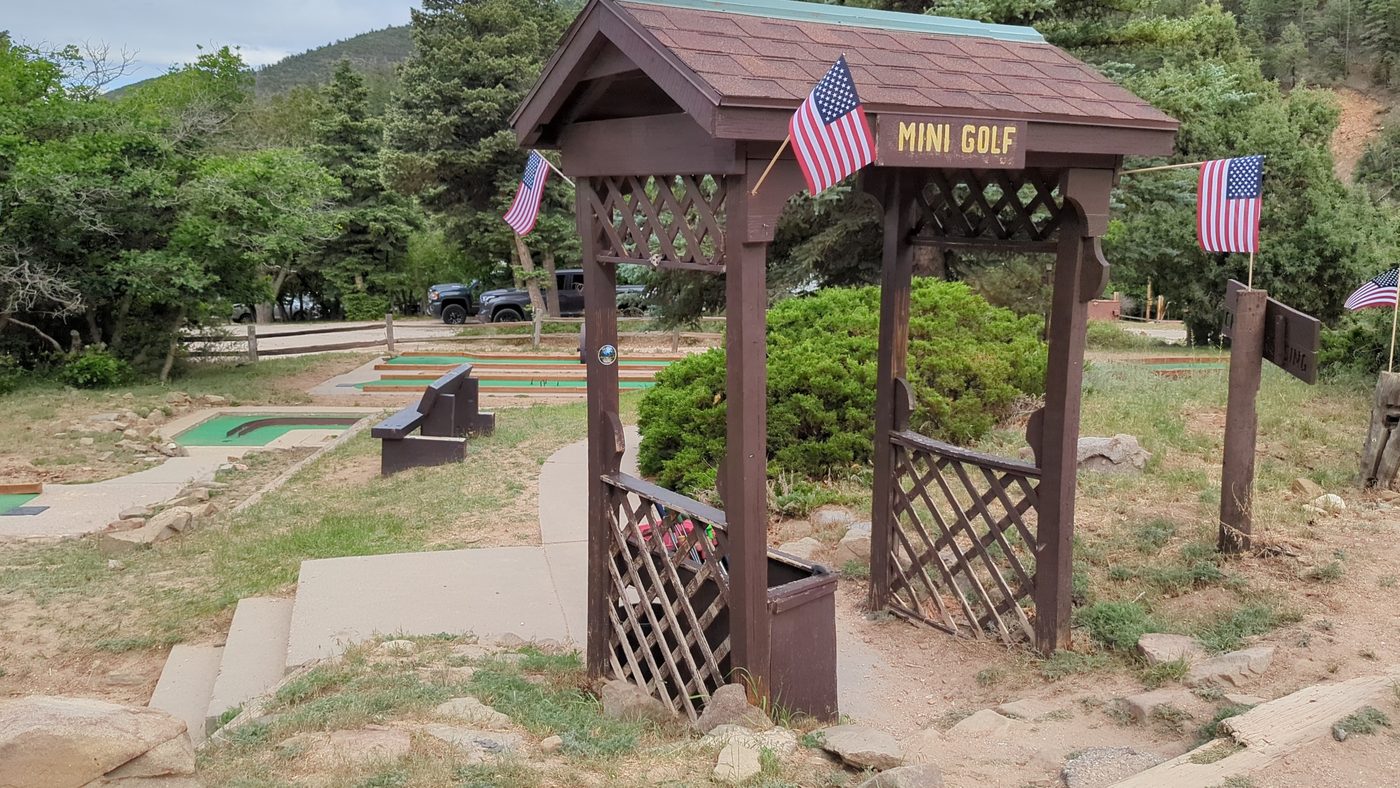
- Amenities include indoor and outdoor pools, a rec hall, tennis, sand volleyball, and mini golf.
- Lodging ranges from deluxe and small cabins to RV and tent sites.
- Weekend traditions include hot meals in the rec hall, outdoor movie nights, bingo, and ice cream socials.
- The Rainbow Trail and Hayden Creek trailheads are right at the resort's doorstep.
Hayden Creek & the Rainbow Trail
- Hayden Creek drains the eastern Sangre de Cristos and feeds the Arkansas River near Coaldale.
- It's a primary access point to the Rainbow Trail, Forest Service Trail #1336.
- The full Rainbow Trail runs over 100 miles from near Salida to the edge of the Great Sand Dunes.
- From Hayden Creek the trail climbs hard for the first two miles before easing off.
- This segment runs about 12 miles west to the Bear Creek trailhead south of Salida.
- The trail traces the lower eastern boundary of the Sangre de Cristo Wilderness.
- Motorcycles are allowed on the single-track, but ATVs and 4x4s are barred by the trail's narrow width.
- Two separate trailheads sit off the Hayden Creek road near the campground.
Coaldale, CO 6,550 ft
- Despite its name, Coaldale's economy was built on charcoal, not coal.
- Pinon pine was burned in beehive-shaped brick kilns to make charcoal for Leadville and Pueblo smelters.
- The town was originally called Hendricks, after its postmaster.
- It was renamed Coaldale in 1891.
- The Denver & Rio Grande named its local rail siding Pleasanton.
- Coaldale sits in the part of the Arkansas Valley known as Pleasant Valley.
- The community later became known for a large gypsum deposit rather than coal.
- It lies in southwestern Fremont County along the Arkansas River and U.S. 50.